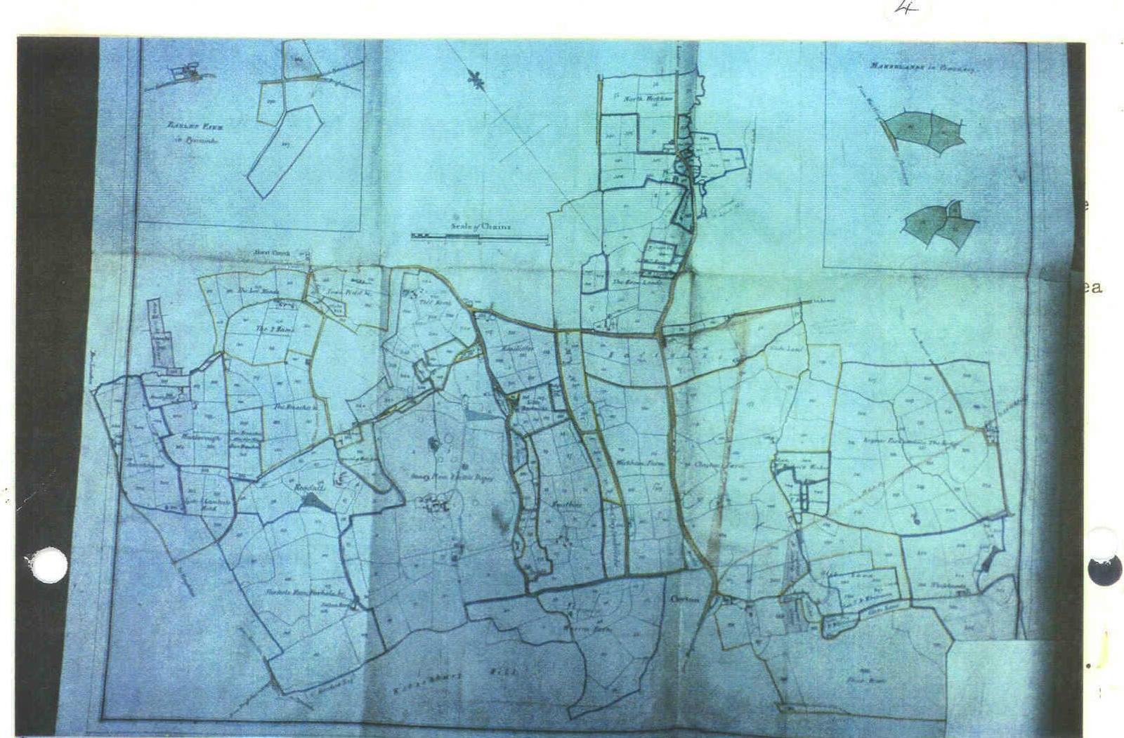
Photocopies then were all black and white but I’d seen the originals and now with computers it’s possible to show them in colour. At the back of the book there is a very faint, pale map showing the whole of the Danny Estate, a mile of farms mostly on very good upper greensand soils. The most interesting feature is that the licence dates for the hedges were (1) 13th century and (2) 1343 A.D. but the Turnpike Roads, labelled “New Road”, were opened in 1835.. 1835 – 1343 = 492 years. Hence there was a difference of about 500years or more between the old hedges and the Turnpikes. Wm Figg drew the maps in 1828. Obviously Railway Surveyors drew the thin red lines which marked out Hassocks Railway Station, roads, railway and Turnpikes on Figg’s maps before the railway was built, late 1830’s? In 1840 the tunnel under the South Downs was complete and the first train ran to Brighton.
The second map, “Washbrooks and Townlands” Hurstpierpoint, shows several stretches of old roads and two of Turnpikes. Hedge counts taken in May 1973 were disastrous! There was little difference between the two sorts! In disgust the results were thrown aside till the summer holidays when the little sums were done taking all of them together.
---o---
To go to the next page click HERE
To go to the previous page click HERE
To return to the contents page click HERE