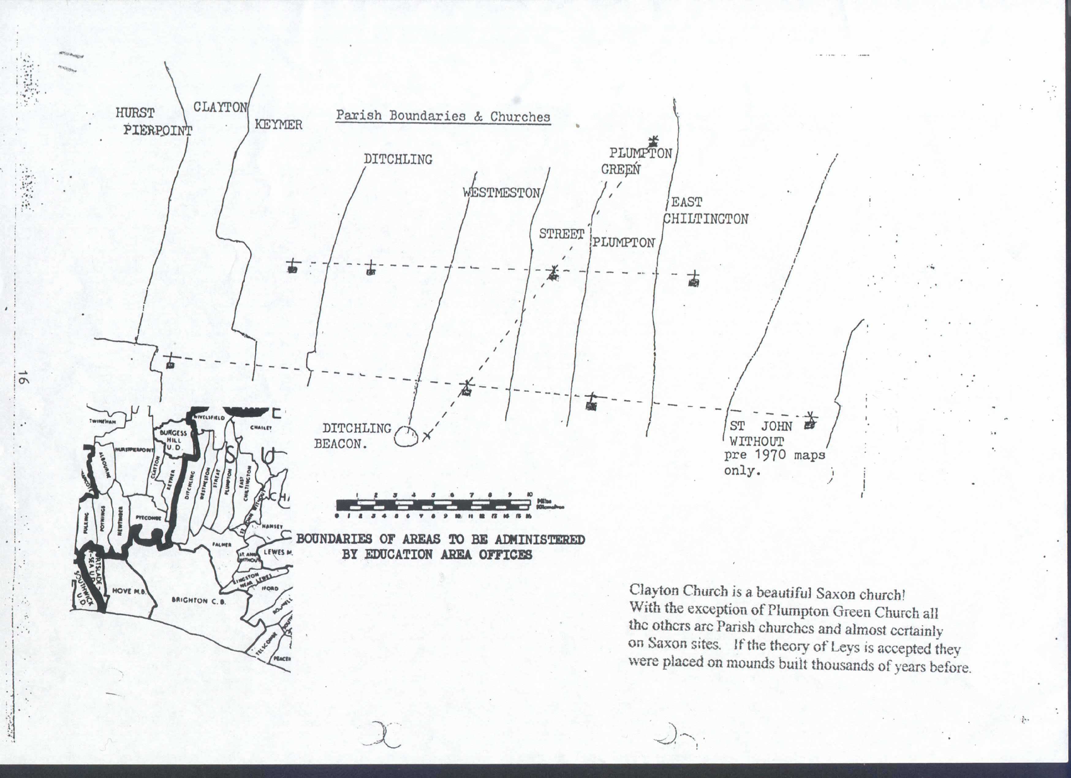
When it was seen that the Turnpike “New Roads” were the same age for both Hurstpierpoint “New Roads” and the Clayton to Ditchling “New Road” it was clear that they were all pre-Roman. Do the Leys have something in common with the “New Roads”? There are 3 straight sections, one in Ditchling, one in Keymer and the third in Clayton. The Ditchling section points to Clayton Church. The Clayton section can be viewed from the “dewpond” on Wolstonbury Hill as a straight line. The middle section of Keymer points to a spot where three other lines converge.
(1) The Clayton Church ley. (2) The “New Road” line. (3) A footpath to the Northwest with “Halfway House” in an appropriate place! (4) The “Coldharbour Road” described by R.E.Couchman, Sussex Arch. (66,37.) The interesting thing is that Belmont Lane, Hurstpierpoint, is a straight lane with Roman size fields on either side but the bridge is set an angle to fit the Coldharbour line. The line also follows Malthouse road for a mile. ( I can’t help thinking that when man first came to Britain surface coal would be abundant and widely used by fire loving people so perhaps we should spell it Coalharbour.) (Under Wool street, Colchester to Cambridge, a cart spilt a load of Nottinghamshire coal, which is still buried under the Roman gravel. “A History of Roads” by Geoffrey Hindle.)
More old notes! “The History of the Countryside” by Oliver Rackham, page 156. Reaves and the like.---- All over S. Dartmoor--
He tells of a story of Country Planning on a gigantic scale; of an organisation able to parcel out tens of thousands of square miles as it pleased, and which sets its own rules of geometry above the practicalities of dealing gorges and bogs ----- There appears to be a similarity with the “Lanes” of Kent & the narrow parishes of Sussex to the Reaves of Dartmoor and “The Saints” (in NE Suffolk).
MAP (8)
---o---
To go to the next page click HERE
To go to the previous page click HERE
To return to the contents page click HERE